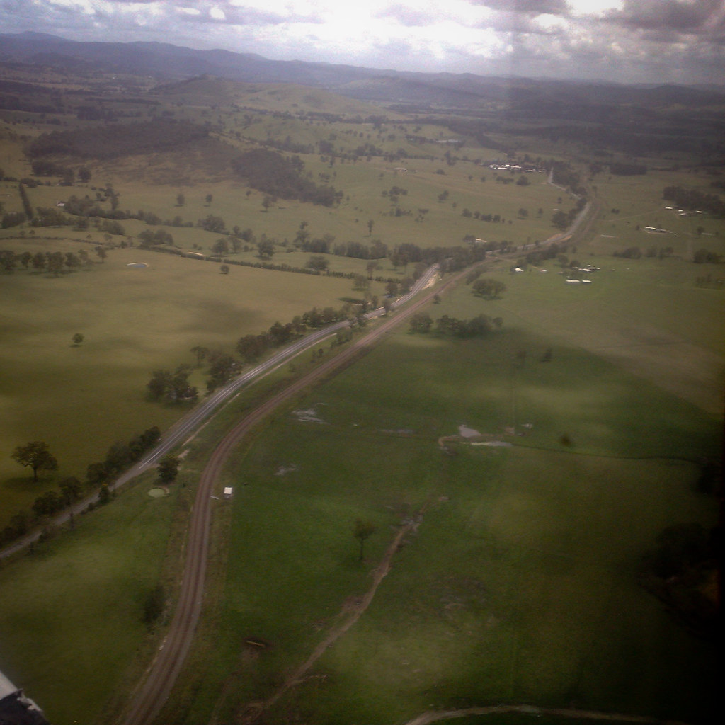
Some pictures from todays solo flight = Warnervale - Maitland - Bundook - Nowendoc - Quirindi - Scone (touch & go) - Singleton - Maitland - Warnervale. 4.5 hours. This picture taken just south of Scone.
 |
| This picture taken just south of Scone. |
 |
| The hills and valleys of NSW. |
 |
| Following the railway line through the Williamtown military area. |
 |
| To avoid being hit with a missile through the Williamtown military flying zone, its possible to fly up a 'lane' at 1000 feet which tracks the railway line. In this picture the railway and road run parallel. It was about at this point the aircraft radio stopped working.... |
